End-to-End
Agricultural Intelligence
From digital field boundary creation to institutional credit risk committee packs, explore every capability of Verdian Ag.
Field Tools for Growers
Digital Field Boundary Creation
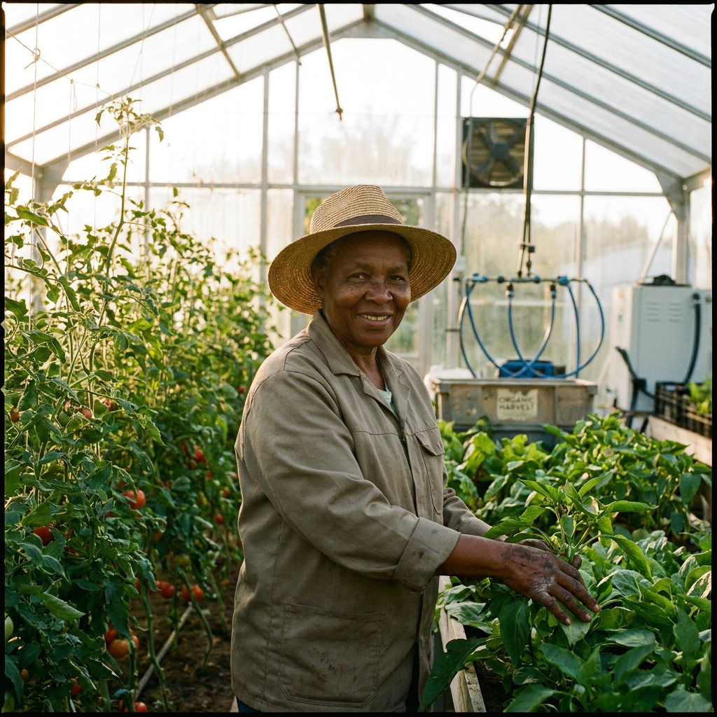
Draw field perimeters on high-resolution satellite basemaps using the Field Create page or drop GPS pins directly in WhatsApp. Polygons auto-calculate exact acreage and sync with Sentinel satellites.
- Web polygon drawing & file upload
- WhatsApp GPS pin boundary creation
- Acreage & hectare auto-calculation
WhatsApp AI Voice Agronomist
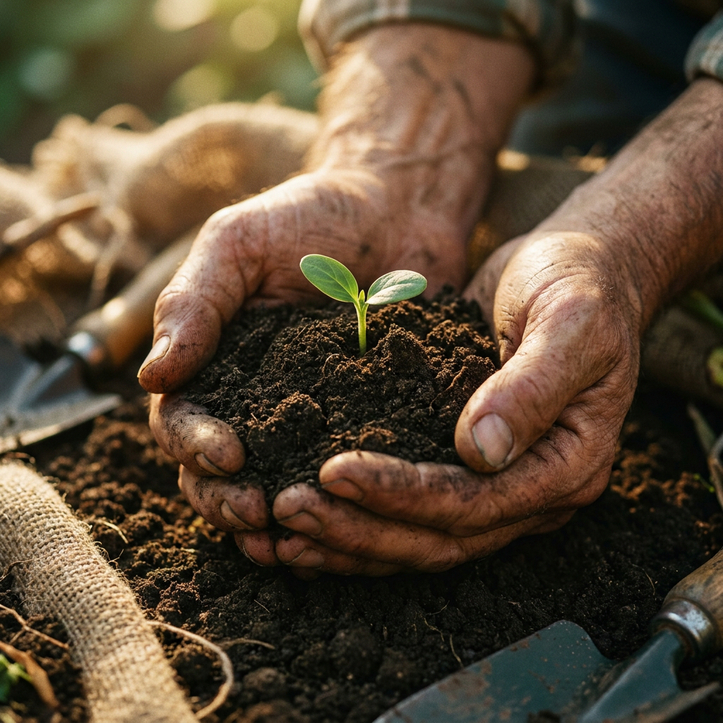
Send voice notes in Shona, Ndebele, or English. Receive instant, satellite-backed disease diagnosis, fertilizer advice, and pest advisories.
- Multilingual voice processing
- Instant disease diagnostics
- Weather deficit alerts
Bi-Weekly Sentinel Crop Monitoring
Track NDVI vegetation vigor, chlorophyll absorption, and canopy development over time with high-resolution European Space Agency (ESA) Sentinel-2 satellite imagery.

- Bi-weekly NDVI heatmaps
- Canopy health progression
- Stress zone flagging
Digital Bank Compliance Certificate
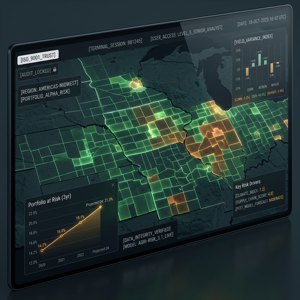
Generate a downloadable, verified PDF certificate proving your farming productivity, field boundaries, and management history for bank credit applications.
- Audit-proof field proof
- QR code bank verification
- Direct PDF export
Lender Risk & Underwriting Tools
Sentinel-1 Cloud-Penetrating SAR Radar
Radar sensors penetrate cloud cover during peak rainy season to monitor soil moisture, crop structure, and flood risks when optical satellites are blinded.
Verdian Credit Risk Score (0-1000)
Proprietary credit algorithm synthesizing satellite performance history, weather shock resistance, and borrower management rigor into a single risk metric.
Credit Committee Pack (CCP) Export
One-click PDF/JSON dossier for credit risk committees containing satellite evidence, historical yield baselines, and probability of default (PD) calculations.
Portfolio Stress Heatmaps & Early Warning
Track thousands of funded fields across regions. Automated SMS/email alerts trigger when regional drought or localized crop failure is detected.